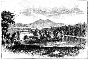
Lake Onata
we must stay long enough to glance through the town history, compiled by Mr. J. E. A. Smith.
A century and a half ago an unbroken wilderness stretched between the Hoosac and Taconic ranges. The mountains rose by steady degrees from the hills of Connecticut to Mount Mansfield, in Vermont, 4,400 feet above the level of the sea. The valley, however, dotted with hundreds of hills, reached its greatest elevation, 1,100 feet, at the foot of Greylock, fourteen miles north of Pittsfield; thence it sloped irregularly north and south. The forests contained deer in plenty for fifty years longer. A few bears, with rather more wolves and Indians, constituted the remainder of the larger movable objects of the landscape. The soil was well fitted for agriculture; numerous small streams were ready to offer their service to settlers.
This region remained uninhabited, however, for many years later than would ordinarily have been the case; not so much from fear of hardships or Indian troubles as on account of the uncertainty of the land tenures which could be acquired. Massachusetts, by reason of the Royal Charter of 1691, claimed to the west as far as the Province of Connecticut extended. New York, on the other hand, maintained that the eastern boundary of Connecticut was meant; moreover, that the western boundary had been agreed upon for special reasons; furthermore, that her own territory, as successor to the rights granted the Duke of York in 1674, reached from the Connecticut River to Delaware Bay. Thereupon Massachusetts referred to the 0ld Charter in force in 1674, which made the Atlantic and Pacific her eastern and western limits. In return, attention was called to the clause in that Charter, excepting lands in the possession of any other Christian State. Now, in consequence of the discovery of the Hudson in 1608, the Dutch had occupied the country as far east as the Connecticut, and to their title New York succeeded.
Massachusetts then denied the fact of settlement. Thus the controversy was prolonged until, in 1773, a line to he run parallel with the Hudson, at a distance of twenty miles, was agreed upon. But about the year 1720 it became evident that the western boundary of Connecticut would be established in favor of that province. This arrangement as the New York representatives stated, was a result of the boldness of settlers in pushing westward and occupying the district in dispute. Accordingly, Massachusetts was encouraged to pursue a
-- page 2 --